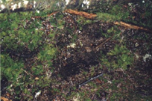
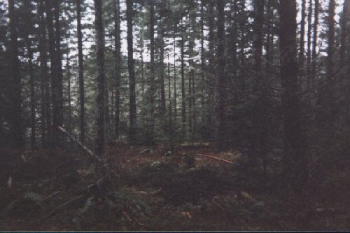
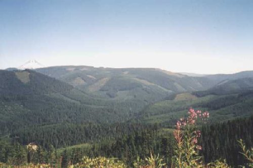
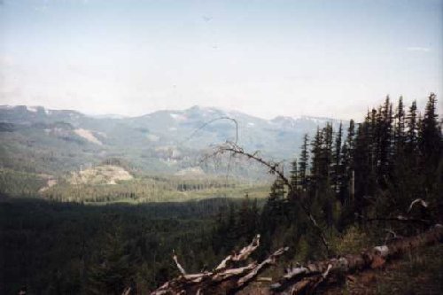
Index of photos, maps and notes (Click on thumbnails for larger renditions) 01 - Glen Thomas site Burnt Granite Ridge 7/99 02 - Large, deep imprint found by Todd Neiss up Indian Henry about 50 yards from shelter 1/18/99 03 - Todd Neiss in mine shaft entrance Coastal Range 3/99 04 - View of shelter found by Todd Neiss
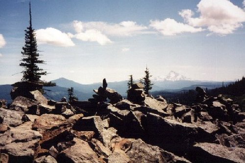
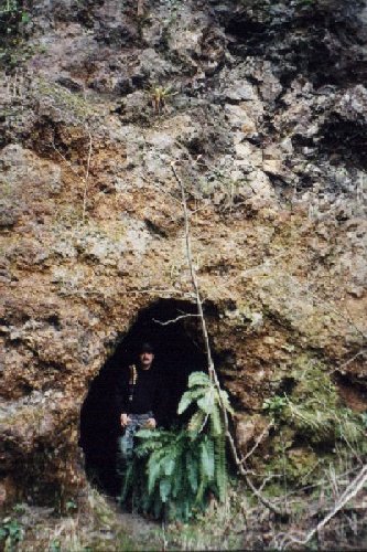
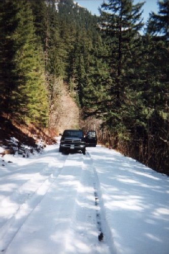
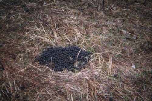
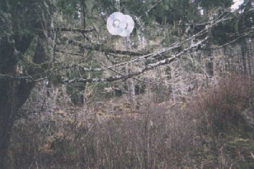
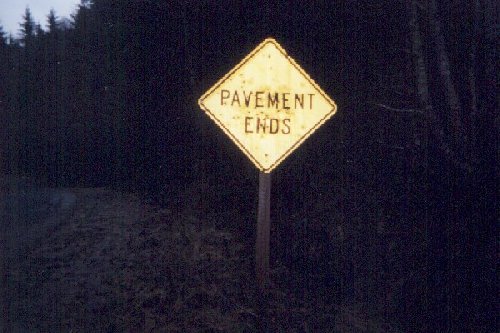
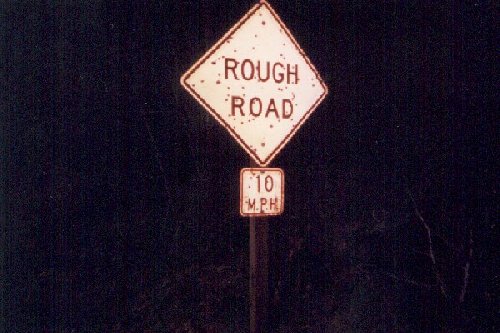
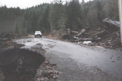
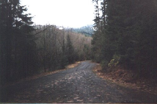
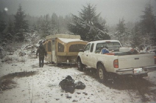
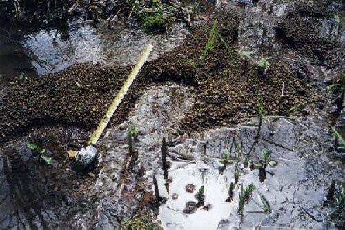
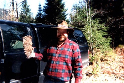
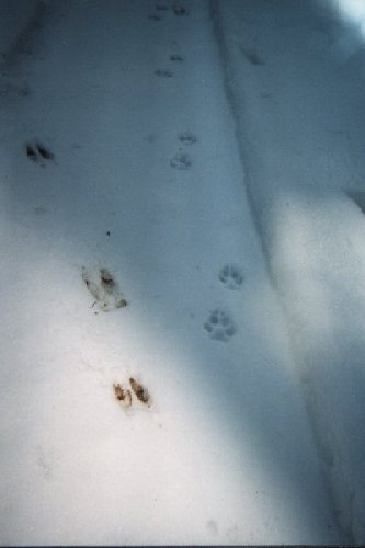
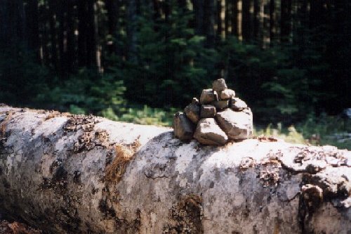
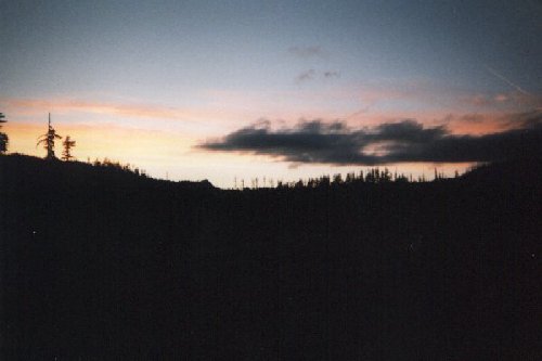
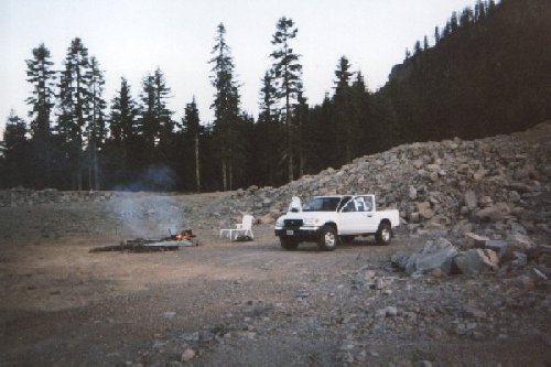
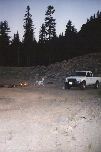
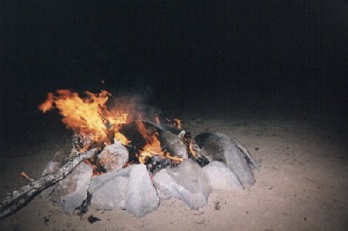
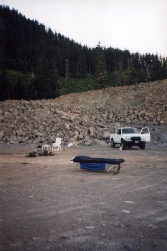
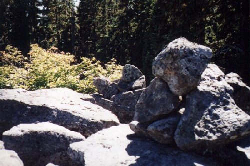
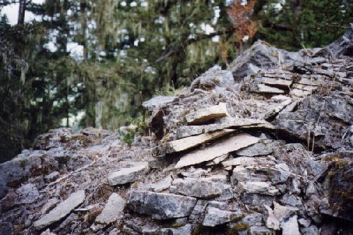
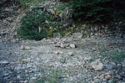
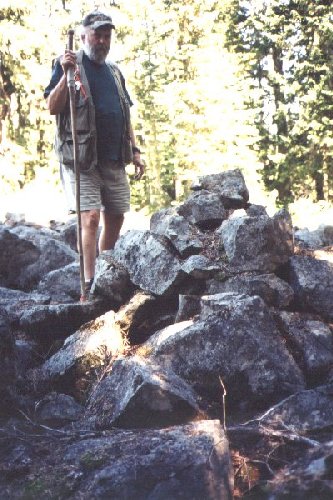
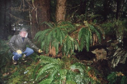
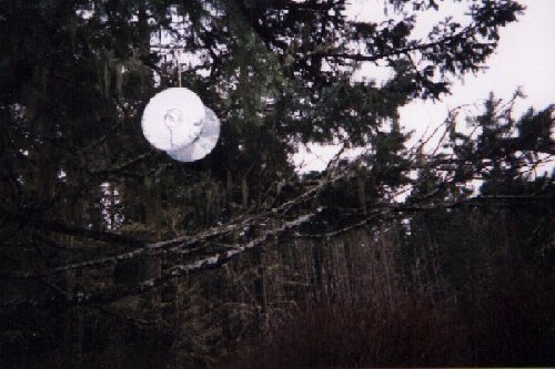
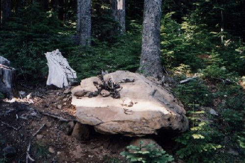
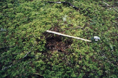
Indian Henry Road 1/18/9905 - Steve's truck Mt. Mitchell 3/99 06 - Example of large pile of elk scat near Cliff site 1 2/99 07 - CD lure at Cliff site 1 2/99 08 - Clackamas River Road 1-15-99 09 - Sign Indian Henry Road 1-15-99 10 - Sign Indian Henry Road 1-15-99 11 - Washout Indian Henry Road 1/21/99 12 - Indian Henry Road 1/21/99 13 - Good, easy walking through typical thinned reprod. Up Indian Henry Road 1/21/99. Site of Joe site 2. 14 - Coastal range Camp 3/99 15 - One of series of imprints up Indian Henry Road 5/99. Discarded, partly eaten skunk cabbage nearby. 16 - Cast of imprint near Ripple Brook, Frog Lake 2/99 17 - Steve Kiley with track cast near Ripple Brook, Frog Lake 2/99 18 - Tire, coyote, buck deer tracks. South fork (flank?) Mt. Mitchell 3/99 19 - 14 X 7" imprint found up Collawash Run 4/99. Note rock at heel area smashed into ground 20 - Coming from Coastal range camp 3/99 21 - Steve Kiley at Joe site 3. Big Bottom, Clackamas River. Scented tree near I-R camera. Scratches start about his waist and go to a little above where stick is pointing. (7/08/99) 22 - Bear grass in bloom. Tarzan Springs area 6/99 23 - Cliff Olson's found rock pile, Oak Grove Butte 9/99 24 - Cliff Olson's found rock pile, Oak Grove Butte 9/99 25 - Cliff Olson's found rock pile, Oak Grove Butte 9/99 26 - Stacked rocks, top of Oak Grove Butte 9/99 27 - Scratched rock Oak Grove Butte 9/99 28 - Scratched rock Oak Grove Butte 9/99 29 - Stacked rocks, top of Oak Grove Butte 9/99 30 - Sunset looking to Granite Peaks from high rock quarry. Glen Thomas site and Burnt Granite nearest ridge. Joe B. alone 8/99 31 32 - Sunset High rock quarry. Joe B. alone 8/99 33 - High rock quarry. Joe B. alone 8/99 34 - Morning fire. High rock quarry.
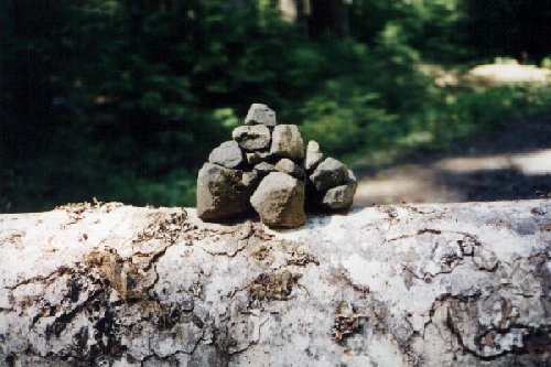
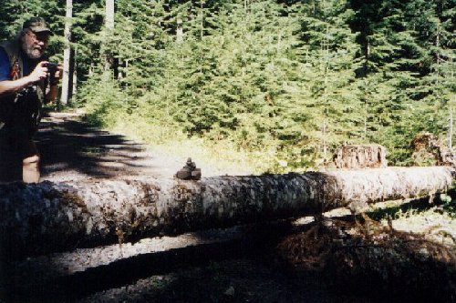
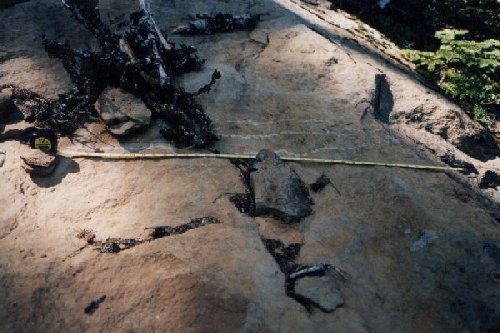
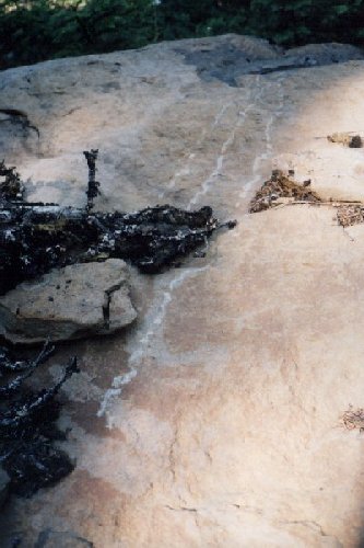
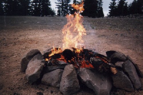
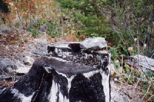
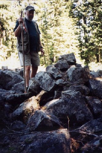
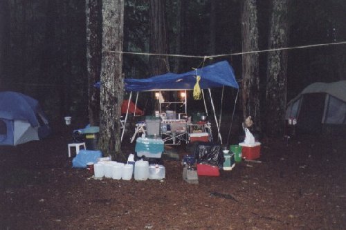
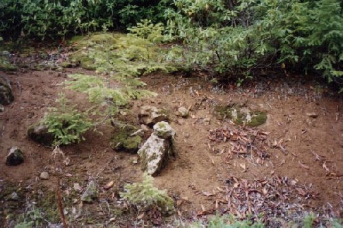
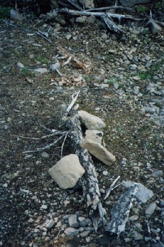
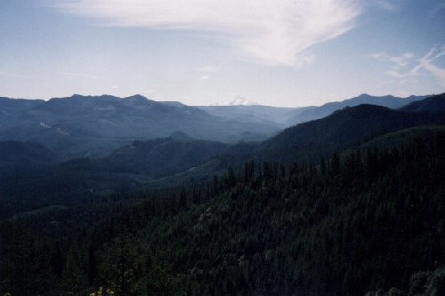
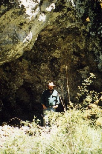
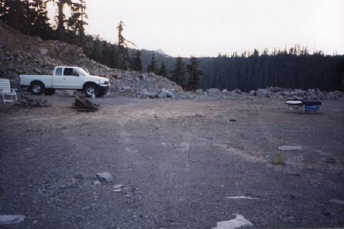
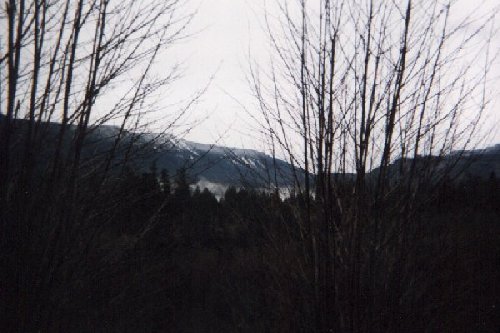
Joe Beelart alone 8/9935 - Sunrise. High rock quarry camp. Joe B. alone 8/99 36 - High rock quarry. Joe B. alone 8/99 37 - High rock quarry Joe Beelart alone. Sunset looking toward Thomas site on Burnt Granite 38 - High rock quarry camp. Joe Beelart alone. 8/99 39 - View of Mt. Mitchell across mountain meadow 2/99 40 - Stacked rocks - Burnt Granite Peak 7/99 41 - Fish Creek, 3rd trip Creek Ridge hike 10/99 Rock on stump. 42 - Restack rocks. Fish Creek drainage 3rd trip Creek Ridge hike 10/99 45 - Cliff Olsen Burnt Granite Stacked rocks 7/99 46 - Big Bottom outing camp 11/99 47 - Rock stacked on another. Big Bottom, Clackamas River 11/99 48 - "People Baiting Station". Unused fire ring, Oak Grove Butte 9/99 49 - "People Baiting Station" Views of 3 rock grouping, stylized fire pit and unused fire ring. Oak Grove Butte 9/99 50 - "People Baiting Station" Oak Grove Butte, stylized fire pit 9/99 51 - Rock hole on Oak Grove Butte 9/99 52 - View of Mt. Hood, location uncertain 9/99 53 54 - Joe Beelart on South Pinhead Butte 7/99 55 - Steve Kiley at Third Creek 10/99 56 - Ray Crowe and Steve Kiley with bucket call 6-3-99 57 - Oak Grove Butte, looking NE up Oak Grove Fork of Clackamas River. 9/99 At Joe's feet is where the big rock was pulled from the ground. 58 - Panoramic view of Collawash River drainage from west side of Granite Peaks 6-3-99 Click each panel for an enlarged picture 59 - 4/8/99 Hillside tracks. Tape shows length of heel to heel on the slope. Slope is 40 degrees. Collawash River. Joe's tracks on right. Critter's on left. 60 - 4/8/99 Front part of tracks on series on dirt slope. Collawash River. Slope is 40 degrees. 61 - 6/9/99 Black bear scat. SW foot Mt. Mitchell. Near "Mother of all turds". Joe Beelart 62 - 6/9/99 Mt. Hood Natl Forest. Woodpecker damage. Joe Beelart. SW foot of Mt. Mitchell. Beaver pond at base. 63 - 6/3/99 Trapper Steve Kiley in big overhang near Collawash River. Joe Beelart 64 - Old Bigfoot hands.
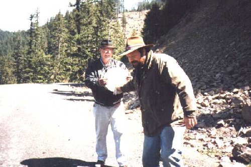
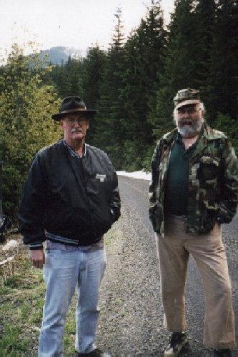
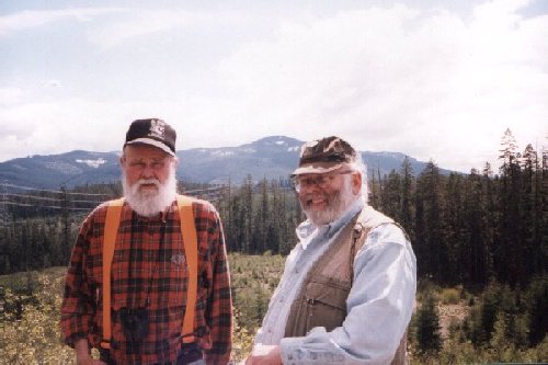
Ray Crowe w/brimmed hat, Cliff Olson w/ball cap.
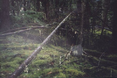
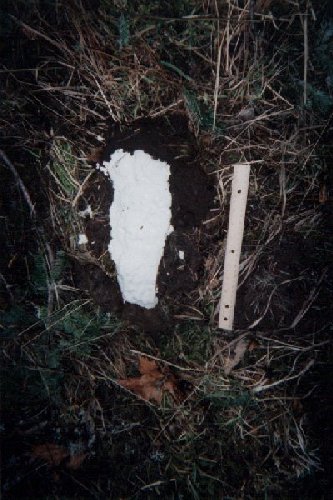
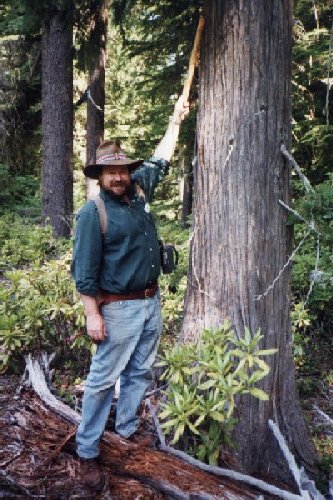
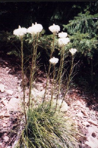
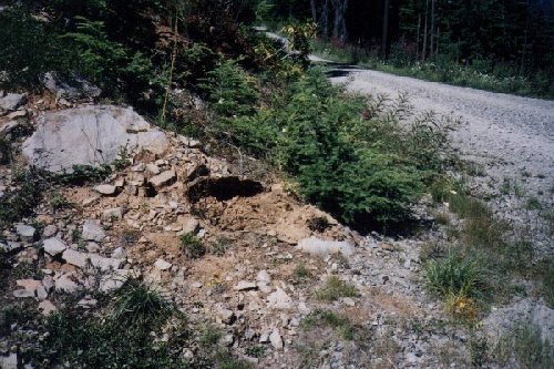
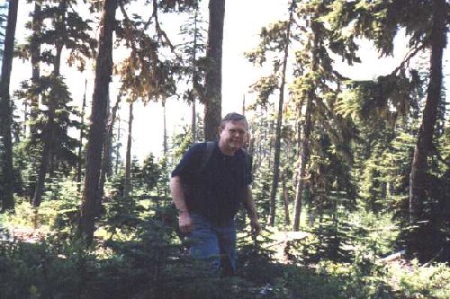
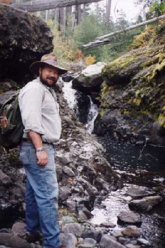
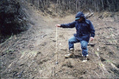
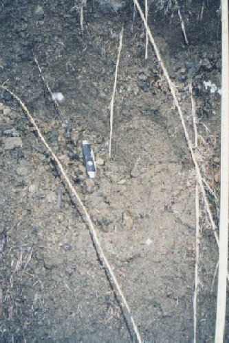
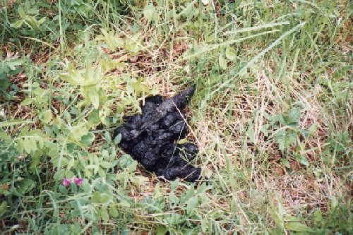
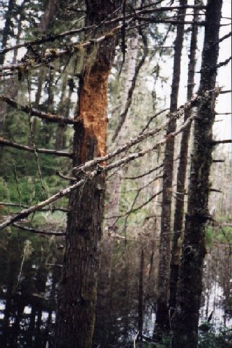
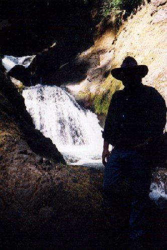
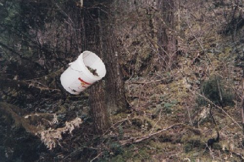
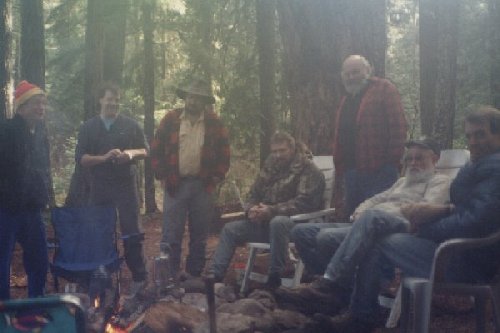
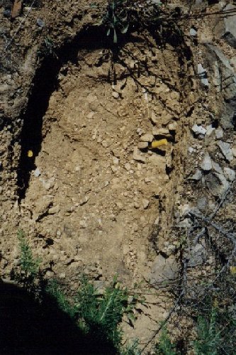
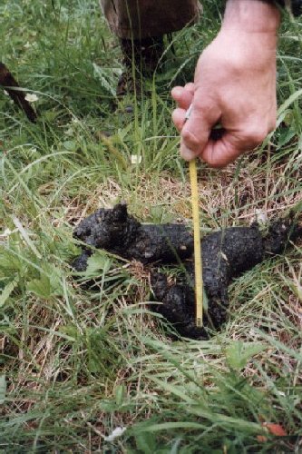
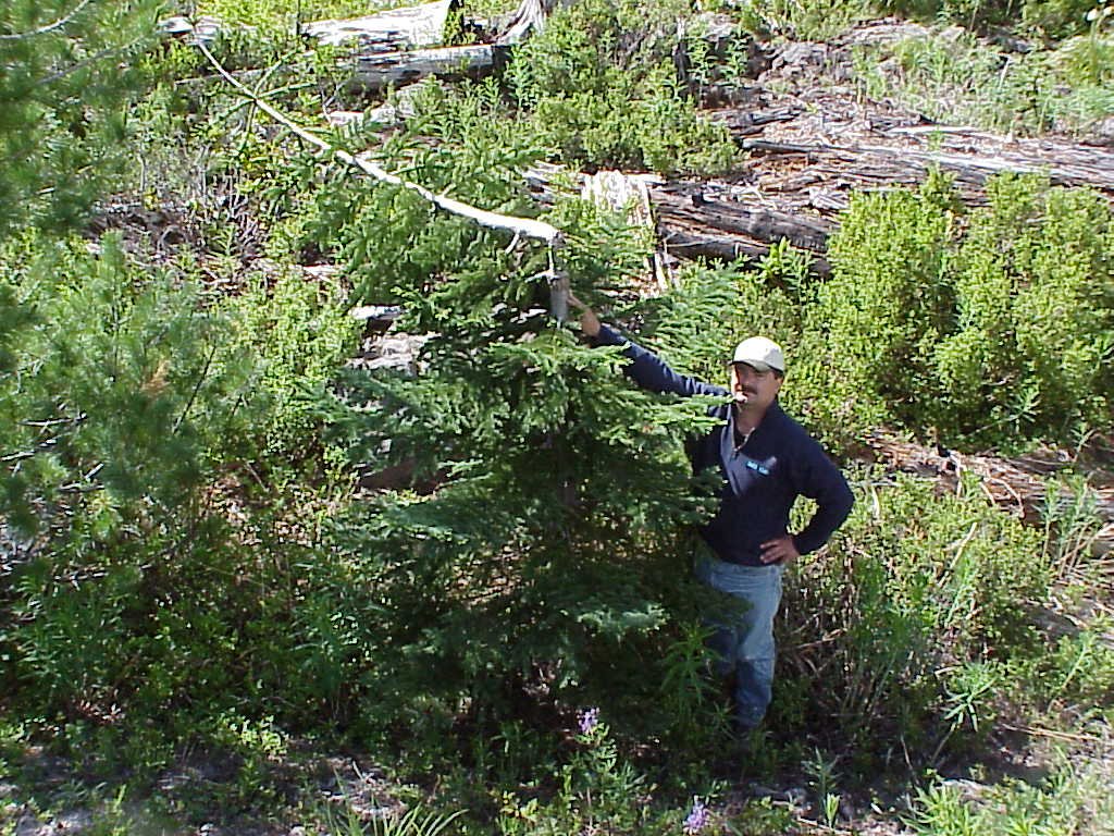
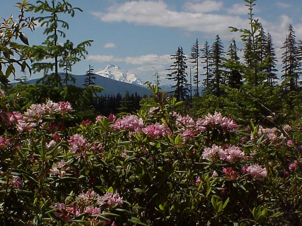
Western slope of Granite Peaks 6/3/9965 - 7/19/99 "Hike" up Sandstone Creek. Trapper Steve Kiley in shadow. What you see is what we got. Joe Beelart 66 - 3/9/99 Joe in photo. Cold. "Something's" shelter. Saddle Mtn. State Park back side. Photo taken by Todd Neiss. Joe Beelart 67 - 1/18/99 "Shelter" up Indian Henry discovered by Todd Neiss. Note triangulated trees. Joe Beelart. 68 - 4/12/99 Collawash River. Steve Site #2. Bucket full of goods. I-R camera to right in brush. Joe Beelart 69 - 8/20/99 High rock quarry. late afternoon. Burnt Granite and Glen Thomas site in background. Joe Beelart. 70 - 2/22/99 CD lure on SW slope of Mt. Mitchell. Very reflective in low light. 71 - 9/14/99 Oak Grove Butte. Stone with the 3 deep scratches. Note rodent burrows under. Were the scratches to scare them out? Joe Beelart. 72 - 1/15/99 Clackamas River steam on a cold day. From Joe Site 2 area up Indian Henry. 73 - 11/14/99 Big Bottom outing: From left, Jim, Keith, Steve (banded hat), Woody, Cliff, Bill, Thom. Goes w/ragged campsite photo (3 tents, etc). 74 - 1/18/99 Indian Henry. One of a series of toe imprints "running" down a slope. This is probably a left foot with all five toes showing a clean "hit". 75 - 9/14/99 Rock yanked vertically from hard ground. Oak Grove Butte. 2 3/4" shotgun shells (grouse season). Rock not found. Joe Beelart. 76 - 6/9/99 "Mother of all turds" Ripple Brook area. 77 - Intrepid BF "Researchers". Bill Harper in suspenders, Cliff Olson w/always smile. On Devil's Ridge looking toward Granite Peaks and Burnt Granite 6/99 78 - Todd Neiss pointing to cleanly broken tree near the road at Tarzan Springs. Only one like it in a large surrounding area. Unless there are very unusual circumstances involved, we strongly advise discounting broken limbs or trees as a sign of "Our Barefoot Friends" (Trapper Steve term). 79 - Spring rhododendrons on Devil's Ridge looking toward Mt. Hood. For a short time each spring they provide much beauty in the Cascade Mountain Range. One long ridge is named "Rhododendron Ridge" for the thousands of acres of the plant that grow in the old logging clear cuts. To man and known animals, they are a deadly poisonous plant. 80 - Joe with his 4" spotting scope. From Devil's Ridge, with that scope and the proper eyepiece, Timberline Lodge on Mt. Hood is clearly visible from at least 40 miles away.
Handwritten Notes
12-16-98 Raw Note Page
12-16-98 Raw Note Page
12-16-98 Raw Note Page
12-16-98 Raw Note Page
12-16-98 Raw Note Page
12-16-98 Raw Note Page
2-28-99 Raw Note Page
2-28-99 Raw Note Page
2-28-99 Raw Note PageMaps
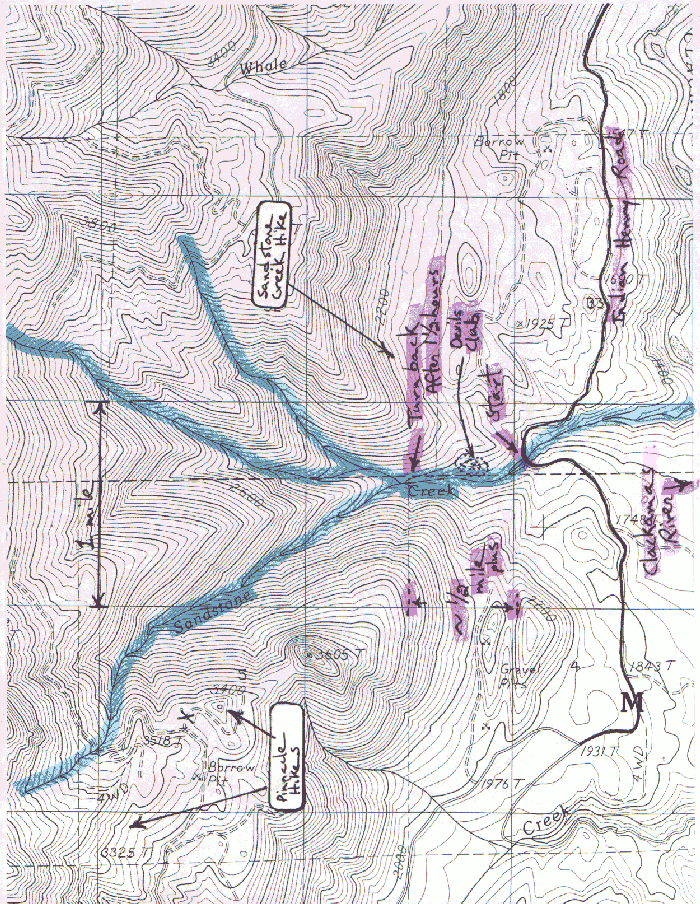
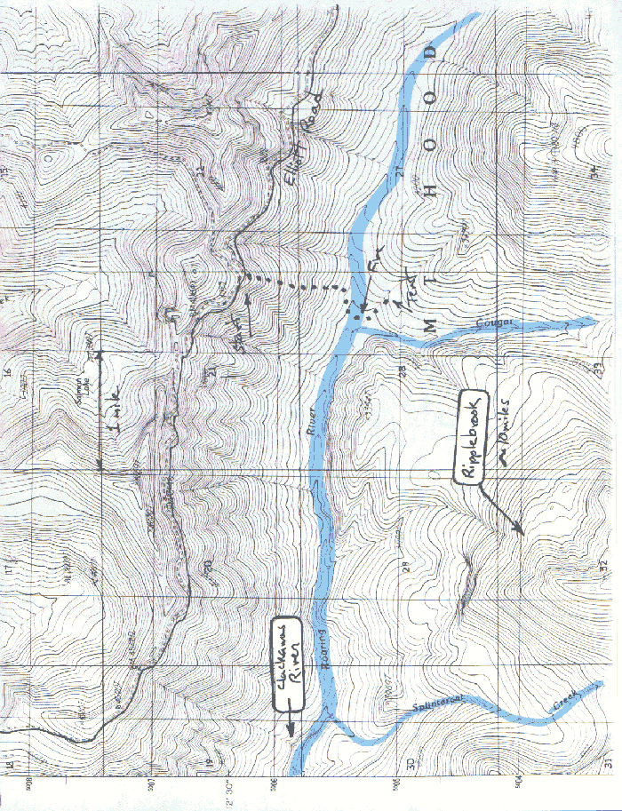
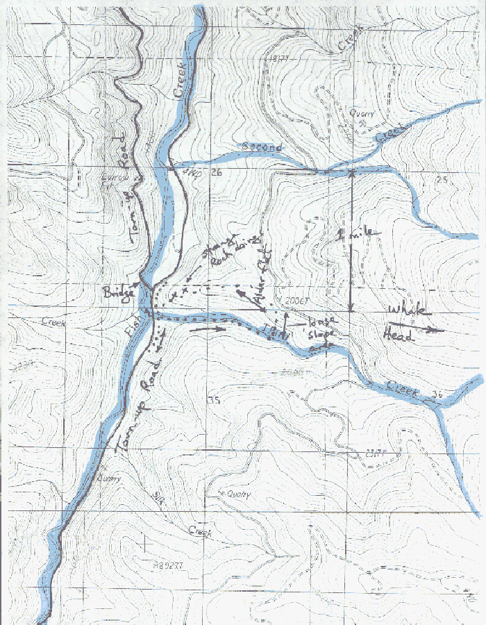
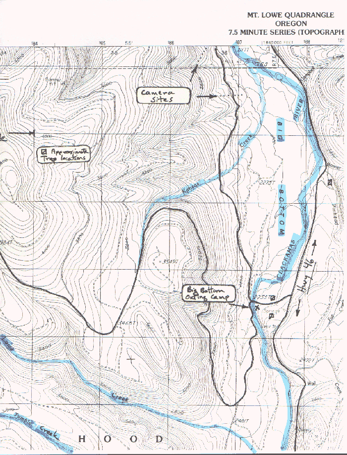
Roaring River, the hike from hell 9-25-99
All website content is © Copyright 2000, Joseph Hector Beelart, Jr. unless otherwise noted.
All rights reserved.Pages created and maintained by